
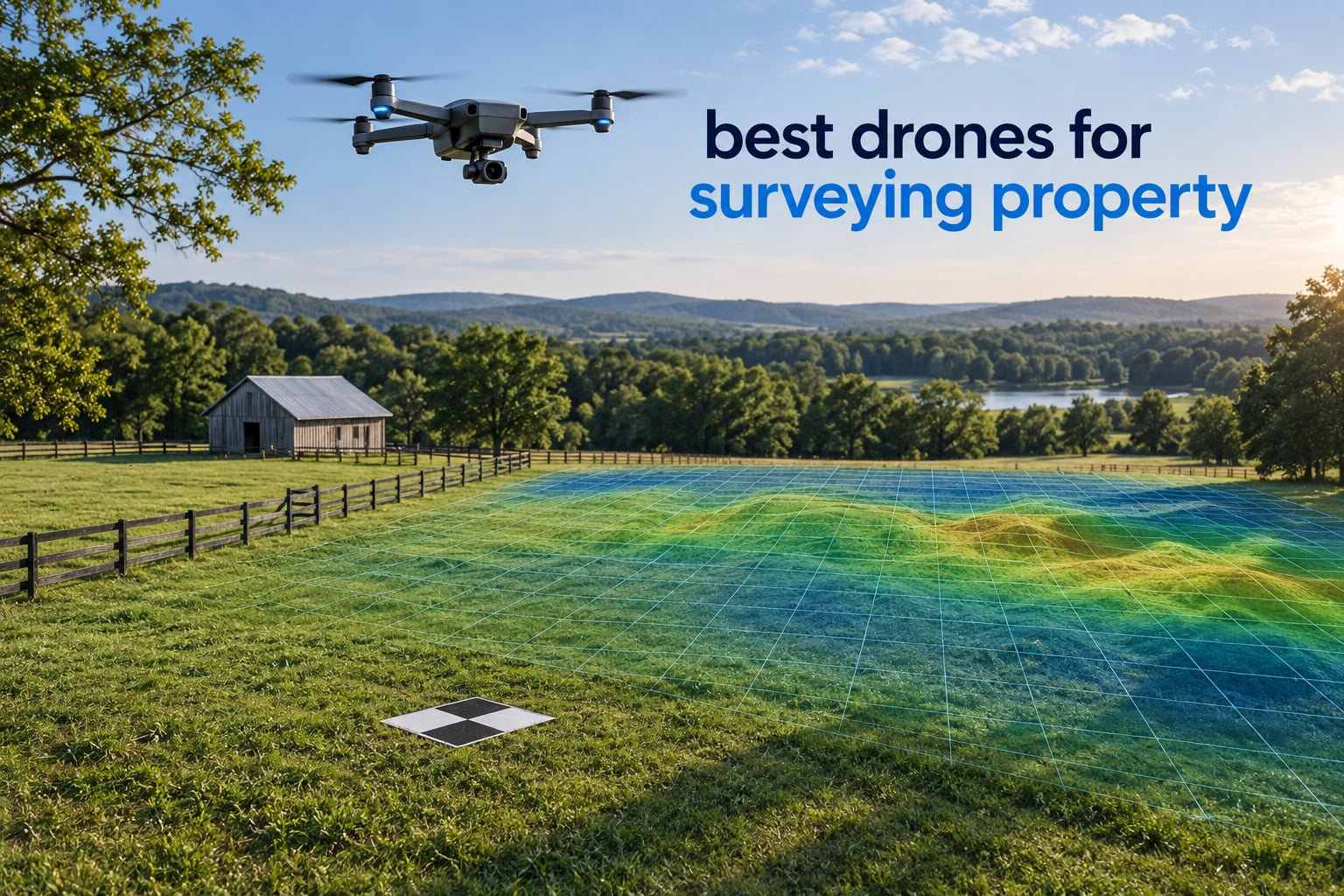
If you want one aircraft to cover most property survey jobs in 2026, the DJI Mavic 3 Classic is the pick. It pairs a 4/3 CMOS Hasselblad camera with 46 minutes of flight time, omnidirectional obstacle sensing and built-in waypoint flight, and at 895 g it still clears the sub-2 kg threshold that keeps commercial operation paperwork simple in most places. This guide ranks the best drones for surveying property across eight aircraft, from that workhorse down to sub-249 g models that need no registration at all.
One thing to clear up before you read further: none of the eight drones below has a built-in RTK receiver. That is not a flaw in the list, it is the market as it stands on mainstream retail. True survey-grade platforms such as the DJI Matrice 4E, the Matrice 400 or the Freefly Astro Max are sold through enterprise dealers rather than consumer channels, and their prices start several times higher than everything here. What you can buy in this category is a very good camera drone with reliable GPS and automated flight, and that is enough for documentation, volumetrics, topographic work and progress monitoring when you add ground control points and proper processing software.
How we use each one depends on the job. For small residential lots and fence-line documentation, our beginner drone guide covers the pilot-training side. For imagery that has to hold up in a listing or a dispute, compare the sensor tiers in our camera drone roundup. And for ground-level evidence of what is actually on the land, a trail camera is a cheap complement for wildlife and access documentation.
Table of Contents
Top 3 Picks for Surveying Property in 2026

All 8 Drones Compared Side by Side in 2026
Every aircraft below is listed in the order we recommend them, not by price. The Key Features column focuses on what changes the survey outcome: sensor size, endurance, automation and weight class.
| Product | Specifications | Action |
|---|---|---|
| DJI Mavic 3 Classic |
|
Check Latest Price |
 Autel EVO II PRO V3 Autel EVO II PRO V3 |
|
Check Latest Price |
 Autel EVO II Dual 640T V3 Autel EVO II Dual 640T V3 |
|
Check Latest Price |
 DJI Mavic 4 Pro DJI Mavic 4 Pro |
|
Check Latest Price |
 DJI Mavic 2 Zoom DJI Mavic 2 Zoom |
|
Check Latest Price |
 DJI Mini 4 Pro DJI Mini 4 Pro |
|
Check Latest Price |
 Potensic ATOM Potensic ATOM |
|
Check Latest Price |
 Holy Stone HS790 Holy Stone HS790 |
|
Check Latest Price |
How We Evaluated These Drones for Property Surveying
We scored every aircraft against the same seven criteria, weighted for the property-survey job rather than for recreational flying. Sensor and still resolution carried the most weight, because ground sample distance is what ultimately limits how much detail ends up in your orthomosaic.
The weighting looked like this: still resolution and sensor size at 25 percent, flight time and battery strategy at 20 percent, automation such as waypoint missions and reliable return-to-home at 15 percent, positioning and gimbal stability at 15 percent, weight class and registration implications at 10 percent, transmission range at 10 percent, and build support and parts availability at 5 percent.
We also read the customer review data for each listing closely, because patterns in long review histories are more useful than spec sheets. Recurring themes about battery claims, controller responsiveness, gimbal fragility and bundle contents shaped several of the verdicts below. Where reviewers consistently dispute a headline figure, we say so instead of repeating the manufacturer’s number.
What we did not do matters too. We did not fly these aircraft on a calibrated test parcel, we did not run control-point shots and measure root mean square error, and we did not benchmark processing times in DroneDeploy or Pix4D. Every accuracy figure in this article is a published expectation range for the platform class, not a measurement we produced. Treat the drone as the capture device and the survey as a workflow.
1. DJI Mavic 3 Classic – Best Overall for Property Surveying
- 4/3 CMOS Hasselblad camera with 20MP stills
- 46 minutes maximum flight time
- Omnidirectional obstacle sensing with APAS 5.0
- Waypoint Flight for repeatable routes
- 15 km HD video transmission
- Bundled DJI RC screen is slow with limited app support
- No vertical shooting mode
- Spare batteries and hard case sold separately
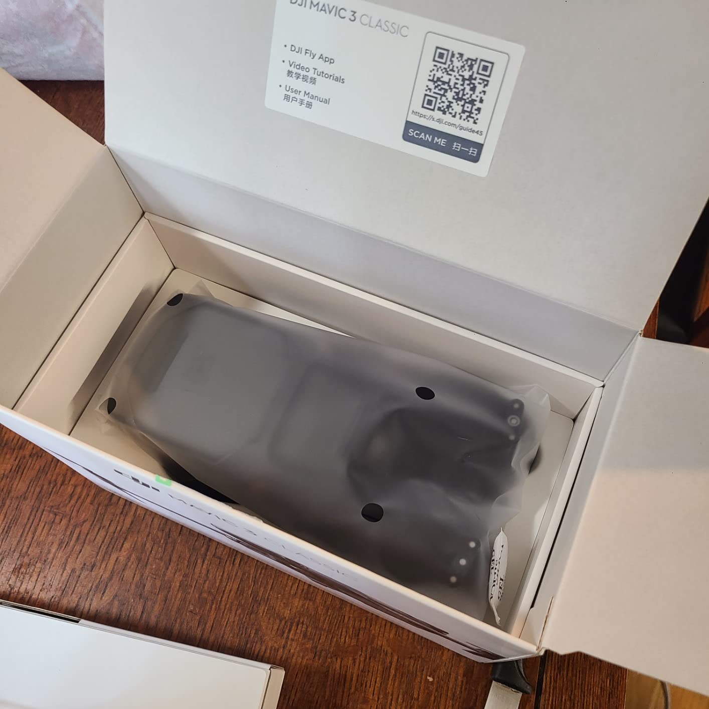
This is the drone we hand to someone running their first serious property mapping job. The Mavic 3 Classic combines a 4/3 CMOS Hasselblad main camera with the endurance and obstacle awareness you need to fly a full parcel without babysitting the aircraft, and it is the only pick here where the trade-offs are genuinely minor.
Camera performance is the reason. The 4/3 CMOS Hasselblad main camera delivers 20MP effective stills in JPEG and RAW DNG plus 5.1K video, and reviewers consistently single it out for photo quality and strong low-light results. For photogrammetry that means each frame carries enough detail to reconstruct surfaces well, and DNG capture gives you the latitude to correct exposure across a site with mixed bright and shaded ground.
Endurance and safety come next. Up to 46 minutes maximum flight time, with 40 minutes of hover on Mavic 3-series batteries, is enough to cover a large residential parcel or a few acres in a single sortie, which cuts the number of battery swaps per job. Omnidirectional obstacle sensing with APAS 5.0 matters more on survey work than most buyers expect, because a boundary pass often means threading between a tree line, a barn and a power pole. Advanced return-to-home with an optimised return route and AR trajectory sync is a genuine safety net when the link degrades at the far corner of a parcel.
Waypoint Flight is the feature that turns this from a camera drone into a survey tool. You plan a grid, the aircraft flies it and returns to the launch point, and the overlap between passes can be set deliberately rather than estimated by hand. The aircraft is FAA Remote ID compliant, and the bundled DJI RC controller has a 5.5-inch HD display with DJI Fly pre-installed, so there is no phone in the loop.
Who this drone suits
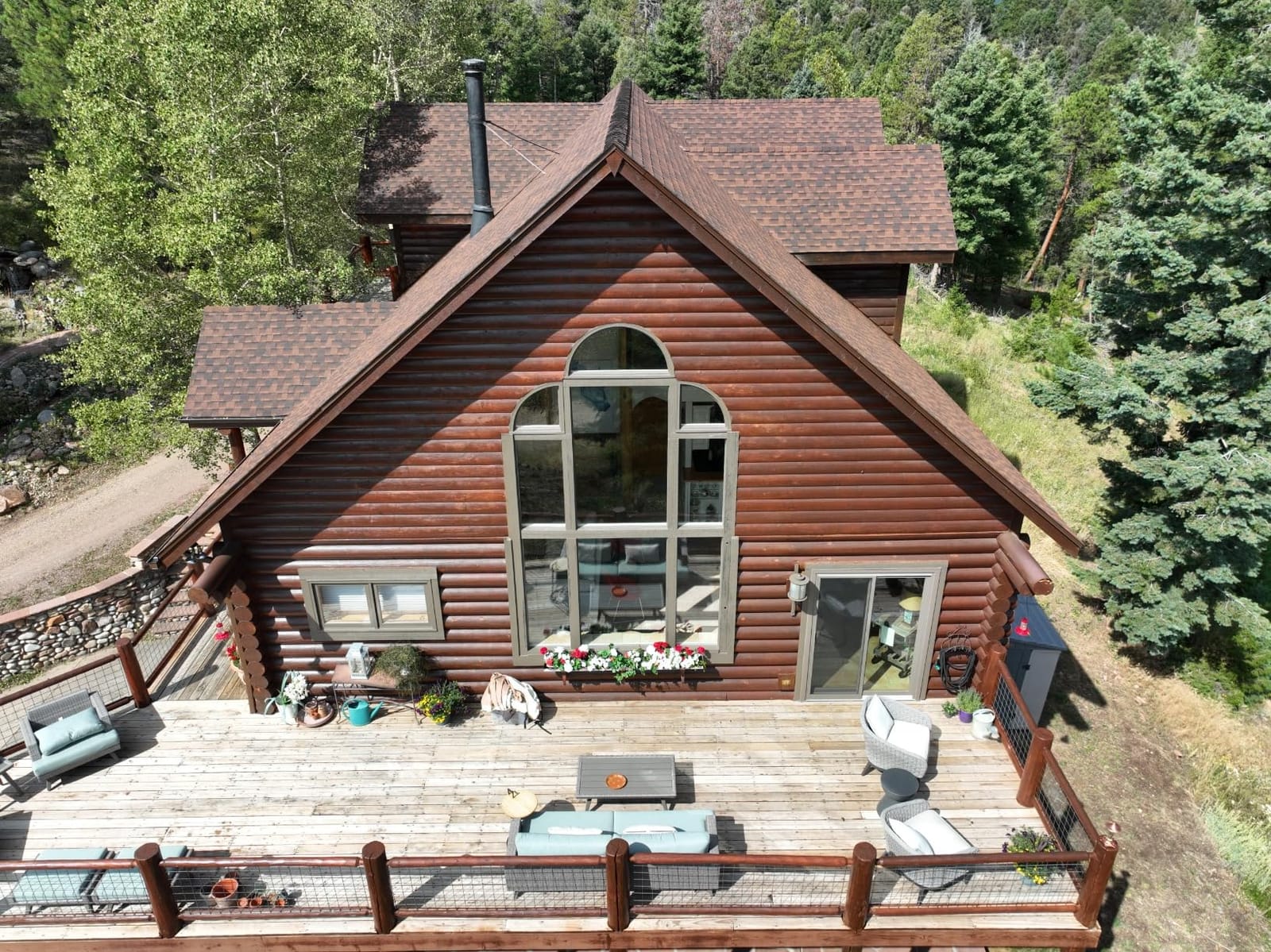
Owners of residential and small commercial property, real-estate agents who need consistent listing imagery, and contractors tracking site progress. The 895 g weight and 15 km transmission give comfortable working room on rural acreage without the logistics of an enterprise aircraft.
Reviewers report handling high wind in the 40-plus mph range with a stable, confident feel, and real-world battery life close to the advertised figure rather than far below it. The installed base is large, which matters more than it sounds: parts, batteries and firmware support are mature, and a lot of people are flying these who can be asked how their workflow behaves.
Where it falls short
The DJI RC controller is the most common complaint, described as slow and laggy with limited Android app support, and it is the one piece of hardware we would consider replacing first. There is no vertical shooting mode, which some buyers miss from smaller models, and the bracketed exposure range is narrower than some rival cameras.
Practical frictions for survey work: spare batteries are expensive and a hard case is not included, and the airframe is large enough that indoor real-estate walkthroughs are impractical. If your job list is mostly small-lot documentation and you fly close to structures, the sub-249 g options later in this list are the better tool.
2. Autel EVO II Dual 640T V3 – Best for Thermal and Night Site Work
Autel Robotics EVO II Dual 640T V3, 640×512 Thermal Imaging Drone, RemoteID
- 640x512 thermal sensor with 16x digital zoom
- 50MP 0.8-inch CMOS visible camera
- Picture-in-picture thermal overlay
- 38-minute flight time with 360-degree obstacle avoidance
- Three batteries and hard case in the bundle
- Not compatible with Autel Enterprise accessories
- Thermal module failures reported after months of use
- Cost is high for the coverage it provides
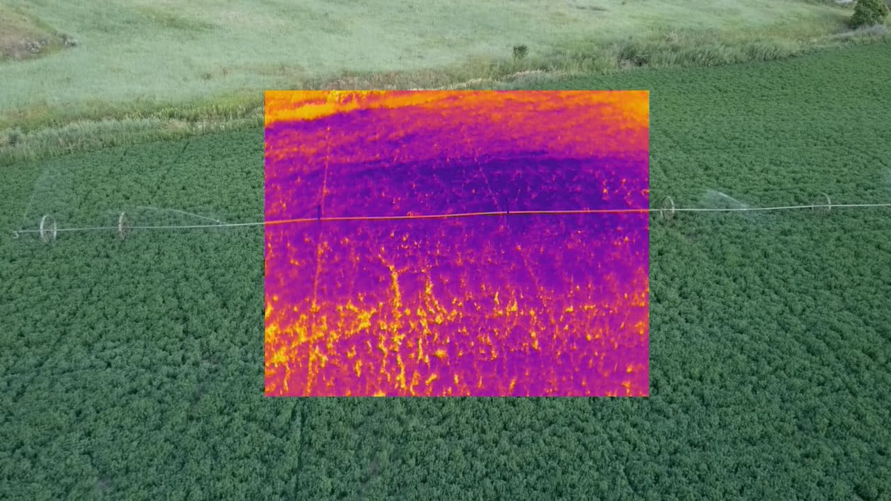
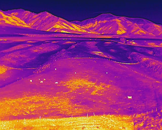
The Dual 640T is the only aircraft in this list that records radiometric thermal data, and that changes what a property job can answer. Thermal imagery is how you find heat loss under a roof envelope, water intrusion after a storm, and the warm signature of a broken or overloaded line on a property boundary.
You are getting two complete sensors in one airframe. The thermal channel is 640×512 at 30 fps on a 13mm lens with 16x digital zoom and subject recognition out to 100 m, and the visible channel is a 0.8-inch CMOS with 50MP effective still resolution, 4x lossless zoom and 16x digital zoom. The picture-in-picture overlay, where the thermal frame sits inside the visible frame, is the feature that saves the most time in the field because you can see exactly what you are pointing at.
For terrain work, the 19 sensor groups across 12 visual sensors handle real-time 3D map building and path planning, and the 38-minute flight time with 360-degree obstacle avoidance makes automated coverage passes practical on a property with trees and outbuildings. SkyLink 2.0 transmission runs to 15 km on tri-band 2.4GHz, 5.8GHz and 900MHz, which means the video link rarely drops on a large rural parcel.
Autel also includes ten or more thermal palettes, D-RI detection, recognition and identification ranges, and a full temperature measurement suite with central spot and regional readings. That is the difference between a thermal image you can show someone and a thermal image you can put in a report. The bundle ships three batteries, a multi-charger, an RC case and a hard protector case, which removes the most common complaint in this category: buying spare packs separately and discovering the charger was not in the box.
Who this drone suits
Roofing and building-envelope contractors, insurance claim documentation, and anyone running dawn or dusk inspections where visible light is gone. It also makes sense for a property owner who already has one drone and wants a second aircraft for a specific job rather than a general-purpose replacement.
Reviewers report the thermal camera performing better than expected, with the picture-in-picture overlay called out as genuinely useful, and the flight behaviour described as stable and quiet. One owner reported that Autel’s US distributor handled a replacement without hassle, which is worth knowing in a category where support quality varies widely by region.
Where it falls short
The clearest limitation is compatibility. This is a consumer-platform airframe, and it does not work with Autel’s Enterprise-series accessories, which some buyers assume it does based on the badge. If your plan involves enterprise payloads later, that is a dead end.
Second, the rating of 4.0 across 53 reviews is the lowest in this list, and the reason is visible in the distribution: strong five-star reviews for image quality alongside reports of thermal module failures after months of use, a cracked camera-cover vent on the hard case, and frustration with warranty handling and add-on support plans. Reviewers also call the cost high for the platform relative to the extended-coverage options.
3. Autel EVO II PRO V3 – Best for Low-Light and Large-Sensor Mapping
Autel Robotics EVO 2 PRO V3, 1″ CMOS &12-Bit Image 6K HDR Video, ISO 44000
- 1-inch CMOS sensor with 6K video and adjustable aperture
- Built-in mapping and waypoint mission planner
- 40-minute flight time with 27 mph wind resistance
- 12-bit DNG stills for post-production latitude
- 6.4-inch OLED Smart Controller SE with third-party app support
- Waypoint missions lack spline flight paths
- Mapping missions cannot capture RAW stills or video
- Remote controller is sized for a phone
The EVO II PRO V3 is the pick for anyone whose survey work happens in poor light or at dusk, and for anyone who wants raw control in post. It carries the same 1-inch CMOS class sensor as larger, more expensive platforms with an adjustable aperture from f/2.8 to f/11, and that aperture control is the detail that matters most on a mixed-surface site.
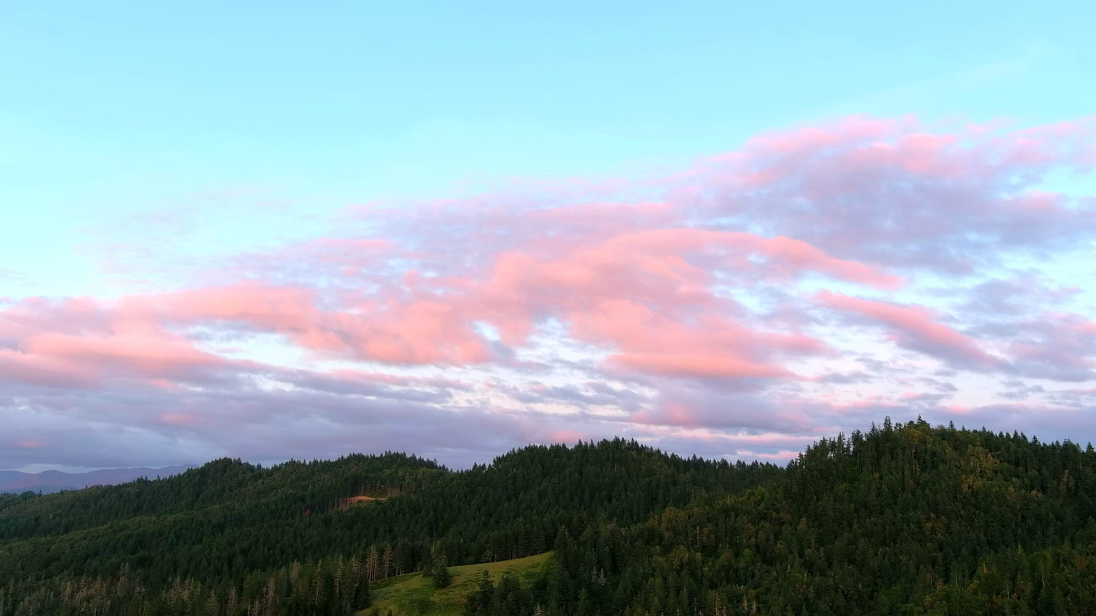
Bright asphalt and shaded grass in the same frame is the normal condition of a property capture, and a fixed-aperture camera forces you to choose between blown highlights and black shadows. Here you can stop down on the sunlit section and open up on the shaded section, then rely on Moonlight Algorithm 2.0 with ISO up to 44,000 when the light genuinely runs out. Stills record as 12-bit DNG, which covers up to 68.6 billion colours, roughly 64 times the colour rendering of 10-bit, and reviewers who grade their own imagery rate that latitude as a genuine advantage.
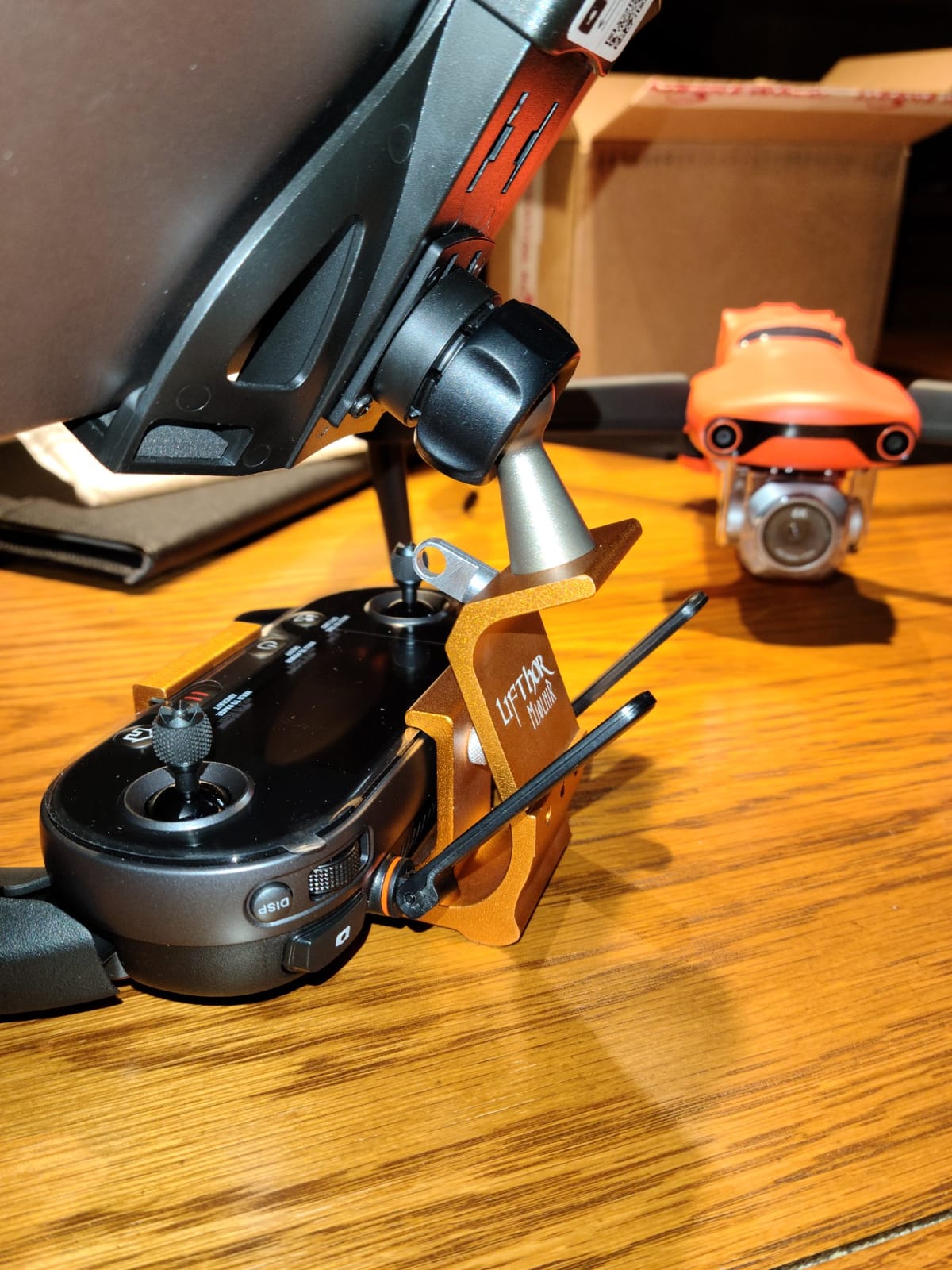
The mapping mission planner is the second reason to look here. The aircraft supports automatic takeoff, pattern flight and return to launch as a built-in mission, so coverage flights do not require a separate ground station. Reviewers report that owners who fly for a living routinely call this their go-to aircraft, particularly for real-estate and structural documentation, and several bought it specifically for photogrammetry after comparing it to the Mavic and Phantom lines. Flight time is 40 minutes, wind resistance is rated to 27 mph, and SkyLink 2.0 transmission reaches 15 km.
Obstacle avoidance is genuinely good, with 12 visual sensors across 19 sensor groups, and owners report accurate return-to-home behaviour. There are no geofencing restrictions, and the app and interface are widely praised as cleaner than the competing ecosystem. The 6.4-inch OLED Smart Controller SE is IP43 rated and supports third-party apps, which matters because that is how you get imagery into desktop processing software without a laptop on the field.
Who this drone suits
Surveyors and GIS technicians who want a single aircraft for boundary documentation, drainage and swale planning, and topographic work on ground that is shaded or partially wooded at the edges. Anyone working dusk or dawn shifts, and anyone who grades their own imagery rather than accepting camera defaults.
The 12-bit RAW workflow is the quiet headline. In practice it lets you rescue a site that a 10-bit sensor would have flattened, which on a property with mixed grass, gravel, roof and shadow is the difference between a usable orthomosaic and a frustrating one.
Where it falls short
The mission planner has a specific limitation that shows up immediately in mapping work: no spline flight paths. Straight-line patterns are fine for open ground, but a smooth curved or multi-angle pass is not available. Related gaps: mission settings cannot capture RAW stills, and rectangle or polygon missions cannot record video, so the raw advantage is something you fly manually rather than something the automated mission gives you.
Also worth knowing: 12-bit colour is oversaturated out of the camera and needs grading, the remote controller is sized for a phone so a tablet mount is a common extra purchase, and Autel support can require shipping the aircraft in, which leaves you without a work tool for a while. If you need fully automated mission capture with spline paths, this is the wrong aircraft.
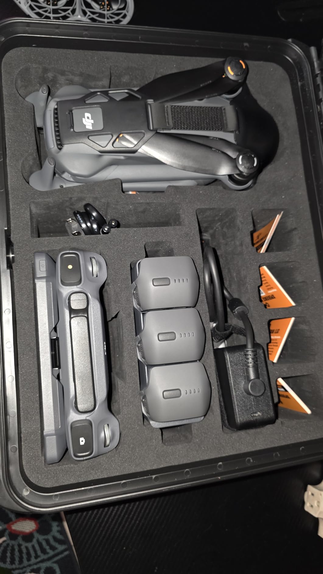
4. DJI Mavic 4 Pro – Best for Covering Large Acreage in One Flight
DJI Mavic 4 Pro Drone With DJI RC 2, Flagship Tri-Camera Drone
- 100MP 4/3 CMOS Hasselblad main camera
- Dual tele cameras for detailed optical zooms
- Infinity Gimbal with 360-degree rotation
- 0.1-Lux Nightscape omnidirectional obstacle sensing
- Up to 51 minutes flight time
- Gimbal is fragile and reported repair cost is high
- US service and coverage plans reported unavailable
- Battery and range figures disputed by some owners
Coverage rate is what separates this one, and for rural acreage it is the deciding spec. Up to 51 minutes of flight time on a single battery means fewer takeoffs, fewer battery swaps and fewer opportunities for wind to turn up between sorties. The camera is a 100MP 4/3 CMOS Hasselblad main camera recording 6K at 60fps HDR video.
That 100MP still resolution is the number that feeds ground sample distance. More pixels per frame means you can fly higher for the same on-the-ground detail, and flying higher means each pass covers more ground. For a large parcel that is a straight reduction in flight time, which is the constraint that actually limits how much land you can cover in a day.
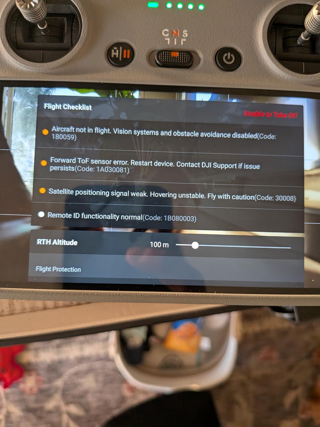
The dual tele cameras, a 1/1.3-inch and a 1/1.5-inch CMOS, add something the other picks here mostly lack: useful optical zoom. The Infinity Gimbal rotates 360 degrees, so the camera can swing to face the aircraft rather than only forward, and 0.1-Lux Nightscape omnidirectional obstacle sensing allows obstacle detection in very low light. Transmission is O4+ with a 30 km range and a 10-bit HDR video feed, and the DJI RC 2 controller is included with a 100W USB-C adapter.
Reviewers consistently report exceptional stills and 6K HDR video, very stable flight in wind, a fast image transfer workflow compared with earlier smaller models, and confidence on site work because of the obstacle sensing. A large share of reviews come from business operators, and the sentiment is repeatedly that this is the best drone they have flown.
Who this drone suits
Anyone mapping tens of acres rather than a single lot. Farmers working drainage, swales and erosion, developers running construction progress monitoring across a site, and owners of large rural parcels who want a full coverage pass without swapping batteries three times.
The zoom cameras earn their place on properties with mixed elevations, where a boundary feature may sit at a very different elevation than the launch point and a fixed wide lens would put you too close to be useful or too far to resolve detail. At 2372 g this is a serious airframe that demands a proper case and a real pre-flight check, and it is not an indoor or small-garden tool.
Where it falls short
The dominant negative theme in the reviews is not performance, it is risk. The gimbal is described as very fragile, and the reported repair cost after even a minor bump is above one thousand dollars, with DJI service and coverage plans reported as unavailable in the US. On a work tool that means operating cost is genuinely higher than the purchase price suggests.
Some owners also report shorter real-world battery endurance than the 51-minute figure and effective range falling short of the advertised figure in some conditions, and a minority report obstacle detection as overly sensitive, stalling the flight in confined spaces. One setup note: DJI Fly is no longer on Google Play and has to be downloaded from the DJI website.
5. DJI Mavic 2 Zoom – Best for Close Inspection of Fences and Rooflines
DJI Mavic 2 Zoom – Drone Quadcopter UAV with Optical Zoom Camera 3-Axis Gimbal 4K Video 12MP 1/2.3″ CMOS Sensor, up to 48mph, Gray
- 2x optical zoom for inspection from a safe standoff
- 3-axis mechanical gimbal with dolly zoom
- 905 g takeoff weight is easy to transport
- Omnidirectional obstacle sensing and ActiveTrack 2.0
- Large base of long-term owners with mature firmware
- 1/2.3-inch 12MP sensor trails newer models
- 31-minute flight time and dated transmission
- Older platform with limited future support
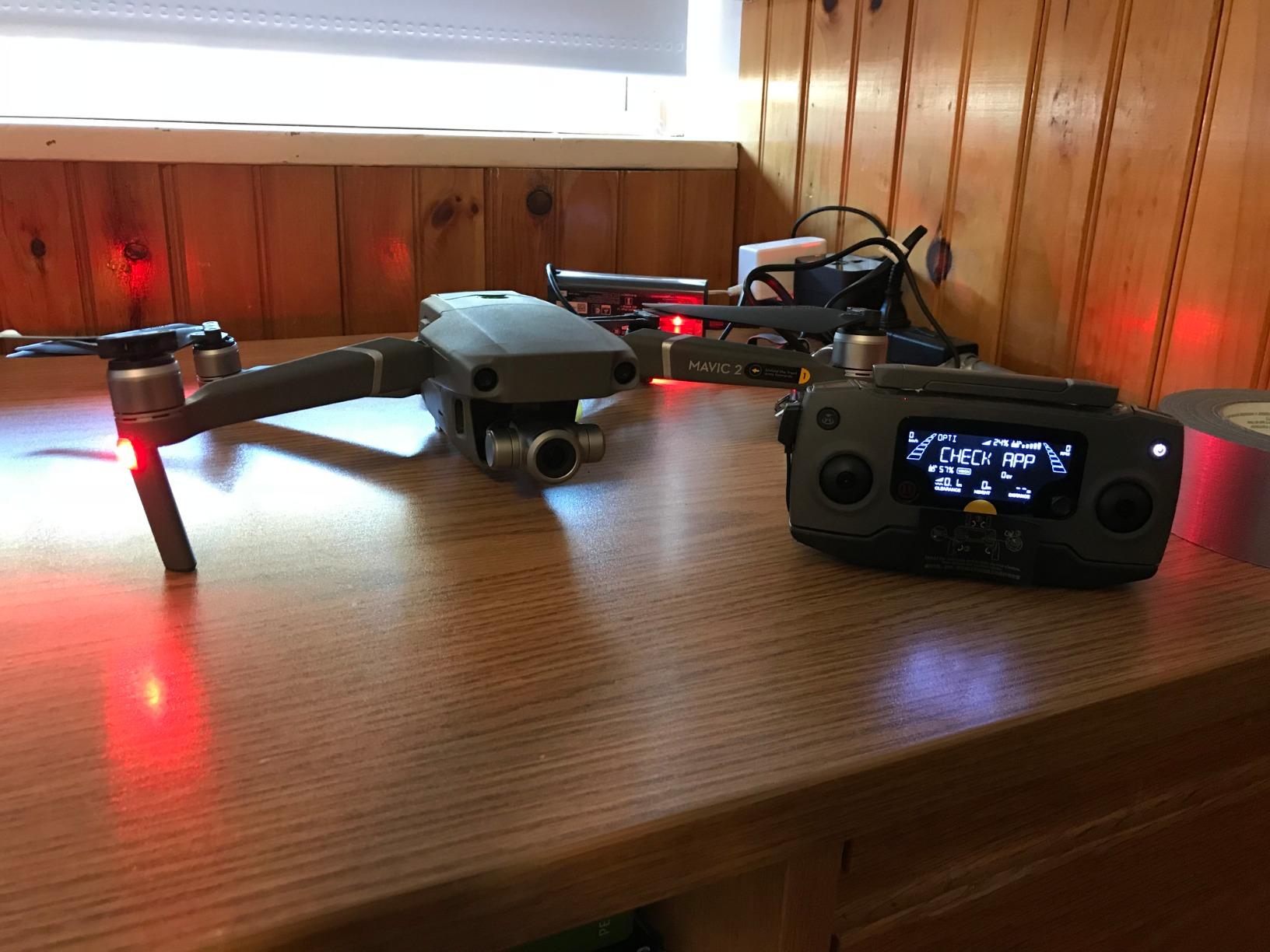
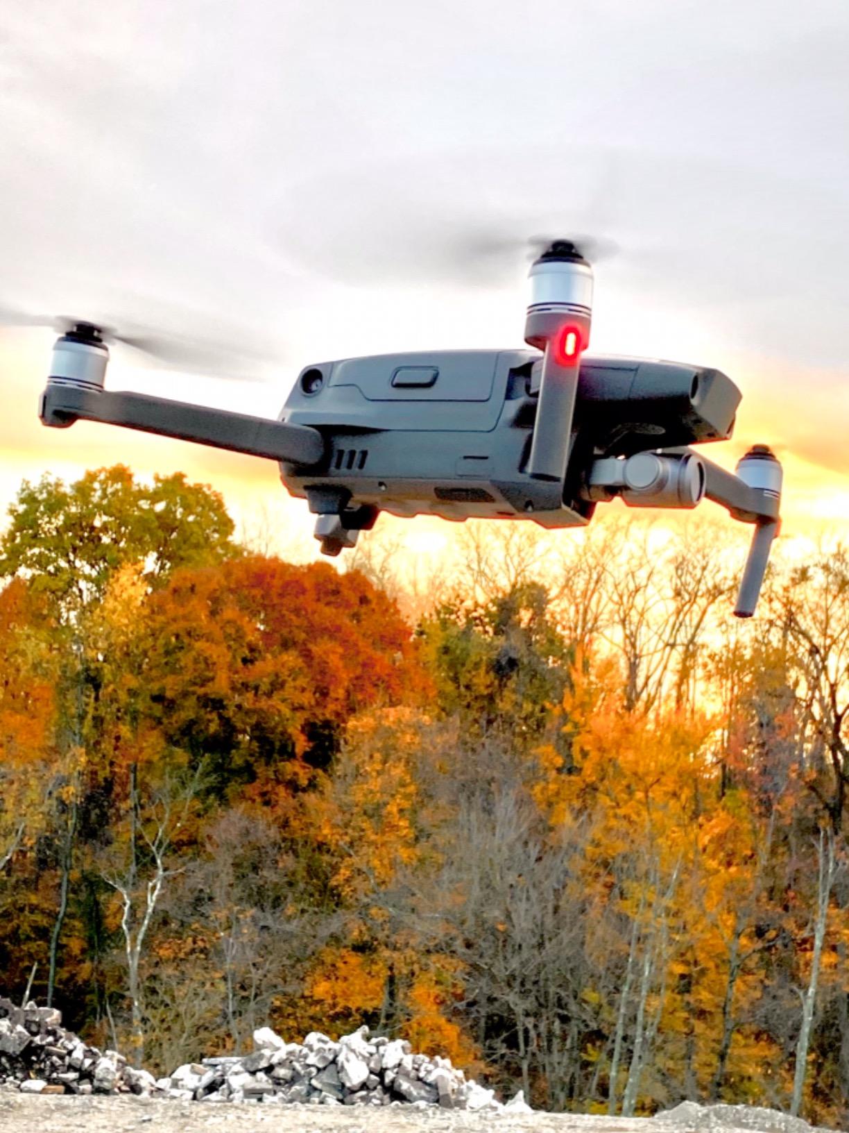
The Mavic 2 Zoom is included here for one specific reason that no other pick in this list fully covers: optical zoom on a mechanical gimbal at a light 905 g takeoff weight. When you are documenting a fence line, a roof surface or a boundary dispute, the ability to inspect from a standoff without repositioning the aircraft is the thing you will use every single flight.
The camera is a 1/2.3-inch 12MP CMOS with 2x optical zoom across a 24-48mm equivalent range and up to 4x total zoom, mounted on a 3-axis mechanical gimbal with an adjustable aperture and a dolly zoom mode. Omnidirectional obstacle sensing and ActiveTrack 2.0 support safer autonomous passes close to structures, which is the flight pattern this aircraft is genuinely good at.
Be honest about what the small sensor costs you. Twelve megapixels is well short of the 50MP and 100MP sensors in the picks above, so ground sample distance is coarser for a given flight height. If your deliverable is a bare-earth terrain model, choose a different aircraft. If your deliverable is a condition record, a damage assessment for an insurance claim, or a set of photographs showing where a retaining wall is cracking, the zoom sensor and the stability of the gimbal matter more than pixel count.
Flight time is up to 31 minutes with a 44 mph maximum speed, and OcuSync 2.0 transmission reaches 8 km. There is 8 GB of internal storage plus microSD up to 128 GB, 48MP super-resolution stills, enhanced HDR with 13 EV, and hyperlapse capture at 4K 30p, 2.7K up to 60p and FHD up to 120p.
Who this drone suits
Anyone whose property work is inspection-led rather than measurement-led. Roof and facade condition, fence line and structure inventory, encroachment documentation, and short close-range passes where the aircraft needs to hold a stable hover at distance. The 905 g weight makes it straightforward to carry to a site and deploy quickly.
It also suits buyers who want a known platform. This listing carries a 4.6 average across 306 reviews, which is the profile of a mature design with settled firmware behaviour rather than a new release still finding its feet. Buyers consistently single out the optical zoom and stable gimbal as the reason to pick it over fixed-focal-length alternatives.
Where it falls short
This is an older-generation platform and the specs show it. A 1/2.3-inch 12MP sensor and a 31-minute flight time both trail the current generation, and OcuSync 2.0 with 5-mile range is dated next to current 10-bit systems. For photogrammetry on open terrain, you are working against the hardware.
The bigger practical risk is lifecycle. As a platform it is not recent, so future firmware development and accessory support will be limited, and if you are building a business on this aircraft you are choosing an end-of-life path. Buy it for inspection work you need to do now; do not build a service offering on it.
6. DJI Mini 4 Pro – Best for Flying With No Registration Paperwork
- Under 249 g so no registration or Remote ID paperwork
- 48MP effective stills and 4K/60fps HDR video
- Up to 34 minutes flight time
- Omnidirectional vision sensing
- DNG RAW still capture
- 1/3-inch sensor is below Mavic and Air tiers
- Firmware issues reported after updates
- Noisy in low light with limited wind margin
The weight is the whole argument. At 249 g the Mini 4 Pro sits under the threshold where recreational flights require FAA registration or Remote ID compliance in the US, and for anyone flying property lines on their own time that removes the paperwork entirely. It is also the aircraft you can walk onto a site with in one hand.
The camera is a 1/3-inch CMOS producing 4K at 60fps HDR video and 48MP effective still resolution in certain modes, with DNG RAW capture alongside JPEG. That RAW capability is the feature most often overlooked, because it is what makes the aircraft usable as a data-capture tool rather than just a camera. Omnidirectional vision sensing, 20 km maximum video transmission and up to 34 minutes of flight time are all well above what this weight class used to offer.
ActiveTrack 360 with customizable tracking trajectories handles the automated passes that do not need a full mission planner, which covers a surprising share of real work: driving a perimeter, following a creek line, circling a structure for a condition record. Reviewers report it holds position well in wind up to roughly 25 km/h and delivers close to the stated 34-minute flight time, and the built-in screen on the DJI RC 2 is much better than flying from a phone.
The installed base is the largest here at 934 reviews with a 4.4 average, and the consensus is that this is the first DJI mini genuinely worth the money, with owners citing build quality and image quality over the earlier Mini SE and Mini 2. That matters for support, batteries and parts.

Who this drone suits
Property owners, real-estate agents and small farmers who fly occasionally and want zero registration friction. It is also a genuinely good aircraft for a surveyor or contractor who already owns a heavier machine and needs a light, quick-deploy second aircraft for boundary walks and site reconnaissance.
Anywhere you need to inspect something up close without committing the whole airframe to it, this is the right tool. Omnidirectional vision sensing and the sub-249 g weight make close-quarters flying far more approachable for a less experienced pilot.
Where it falls short
The 1/3-inch sensor is the limit for measurement work. Detail and dynamic range are below the Mavic and Air tiers, so it is not the right aircraft for fine-detail capture, and a 48MP mode that interpolates is not the same as native resolution on a larger sensor. It also shares the same camera as the Mini 3 Pro, and accessories are not cross-compatible between the two.
Reviewers also report it being noisy in low-light conditions, and the sub-249 g weight limits wind tolerance on exposed sites, which matters on open rural acreage. There are reports of firmware updates rendering a unit unusable with diagonal lines in images until it is serviced, and one owner found DJI support unreachable for an account activation problem. For survey-grade output, this is a documentation aircraft, not a measurement one.
7. Potensic ATOM – Best Starter Drone for Small Residential Lots
- 3-axis brushless mechanical gimbal at this price
- Real GPS with Return-to-Home
- 32-minute flight time and 6 km transmission
- Folds to palm size for easy transport
- Over 4000 reviews showing consistent results
- Fixed 1/2.3-inch class sensor limits detail
- No omnidirectional obstacle sensing
- WiFi video link is prone to interference
A 3-axis brushless mechanical gimbal is unusual at this end of the market, and that single spec is why the ATOM works for property work at all. Almost everything else in this class uses a fixed, tilting or digital stabilisation, and on a survey capture the difference between a mechanically stabilised frame and a shaky one shows up in the photogrammetry output.
Underneath that you get a Sony CMOS sensor with 12MP stills and 4K at 30fps video, up to 32 minutes of flight time per intelligent battery, and transmission up to 6 km on Tippy 3.0 anti-interference technology. GPS gives you genuine Return-to-Home without a phone link, plus Circle, Spiral, Rocket and Pull-Away QuickShots and visual tracking with Follow Me.
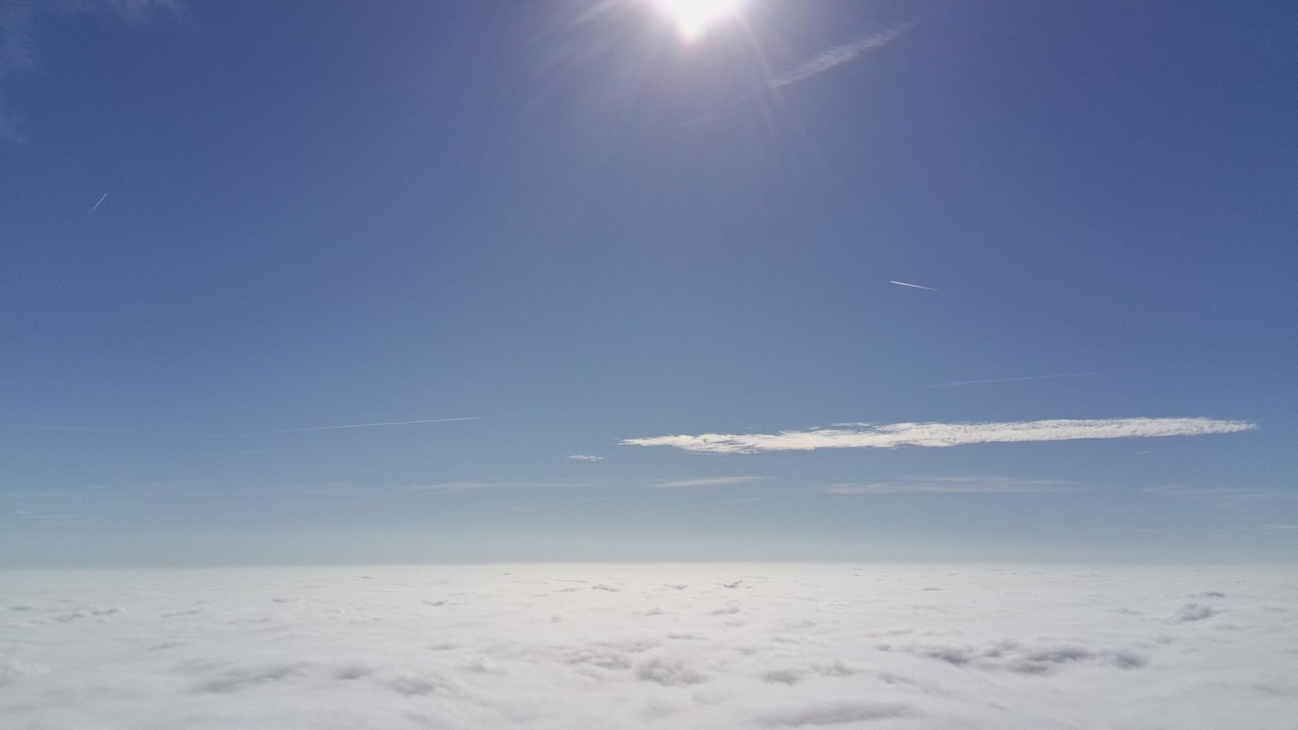
The weight is 241 g, so it also sits under the 249 g registration threshold, and the foldable palm-sized design is easy to carry to a site. The bundle ships with a 2330 mAh pack, and multi-battery kits are available, which is worth buying rather than planning around.
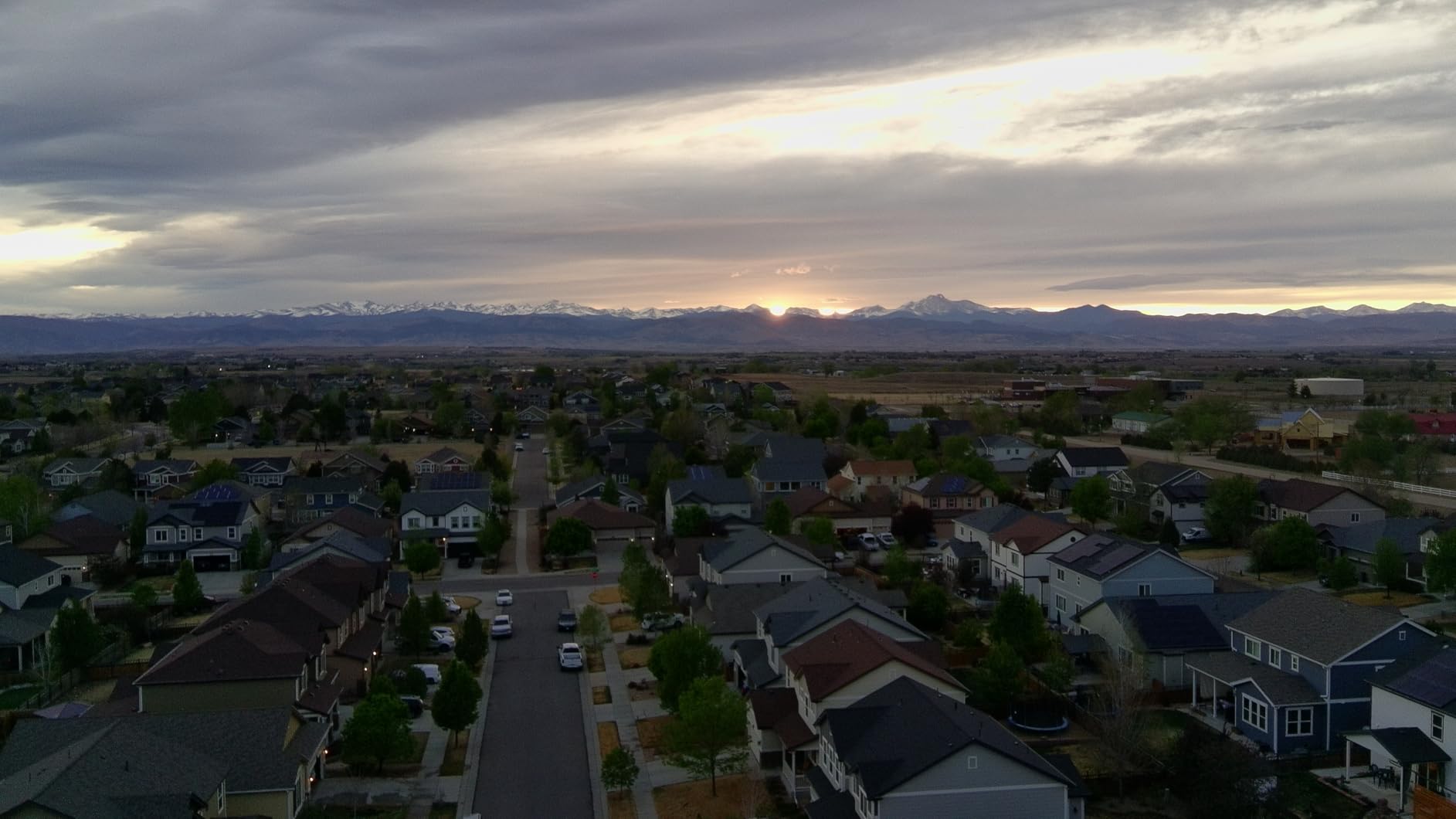
With 4,110 reviews at a 4.5 average, this is the most statistically validated aircraft in the entire list, and the consensus is unusually clear: the gimbal, the GPS return-to-home and the 6 km range are what buyers consistently single out. For a residential lot under a couple of acres, flown in calm conditions, that is a workable capture package.
Who this drone suits
A first-time buyer who wants to start photographing their own property without a registration obligation or a steep learning curve. It is also a sensible aircraft for a small contractor who needs condition photos of a job site once a week rather than a survey deliverable.
Its practical appeal is the fold-to-palm design combined with 32 minutes of real flight and a mechanical gimbal. If you are documenting a house, a small parcel boundary or a build site from ground level upward, it does the job with no ceremony.
Where it falls short
The sensor is the hard limit. A fixed 1/2.3-inch 12MP-class sensor with a narrower, quarter-frame dynamic range produces less usable detail in bright or low-light capture, and reviewers say so directly. There is no omnidirectional obstacle sensing, so close-quarters flying carries more risk, and the WiFi-based video link is more prone to interference than an OcuSync-class system.
One more practical limit: the standard kit is single-battery, so you get 32 minutes of total flying per charge and need extra packs for anything larger. If your intention is a terrain model or a measured deliverable, the camera is not going to get you there. Treat this as a documentation and familiarisation aircraft.
8. Holy Stone HS790 – Best for Long Total Flight Time on One Charge
- Two batteries for up to 60 minutes total flight
- 3-axis mechanical gimbal with brushless motors
- GPS waypoint flight
- Follow Me and Auto Return to Home
- Built-in Remote ID for FAA compliance
- Night mode and 6K still capture
- 1/3.2-inch sensor is weak in low light
- WiFi repeater link is interference-prone
- 375.5 g leaves little wind and payload margin
The HS790 solves a problem none of the others do: total flight time per charge cycle. Two intelligent batteries give up to 60 minutes of combined flight, and the Smart PD charging hub doubles as a power bank, so a field day of coverage does not mean sitting on a wall waiting for packs to charge.
For a large property walked and photographed in sections, that is a real productivity difference. The 3-axis mechanical gimbal stabilises 4K at 30fps video on 1506 brushless motors with level 5 wind resistance and low noise, and the foldable body comes with a carrying case.
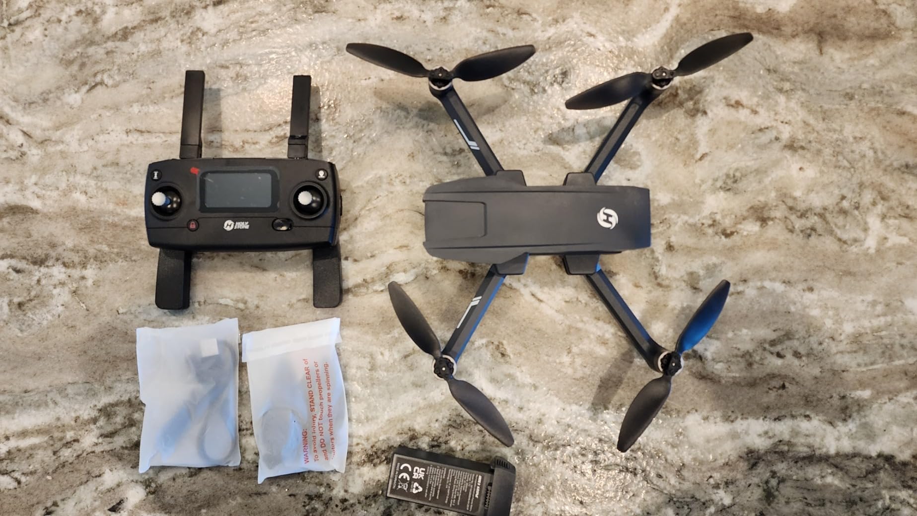
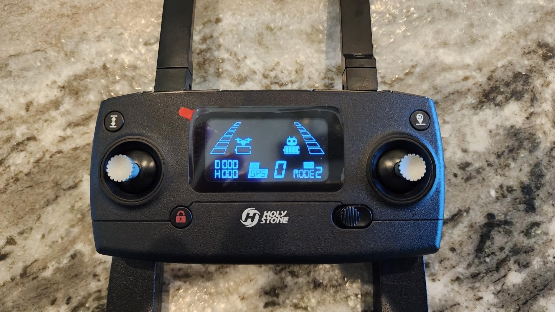
GPS smart flight includes Auto Return to Home, Follow Me and Waypoint Flight, which covers the basic automated coverage pattern most property documentation needs. Built-in Remote ID is included for FAA compliance rather than requiring an add-on module, and the night flying mode with a dedicated night visibility mode plus 6K still capture extends the working window into low light. The sensor is a Sony 1/3.2-inch CMOS with an f/2.0 aperture and 38MP effective still resolution.
Transmission is quoted at 9 km or 30,000 ft via Holy Stone WiFi repeater technology, and the aircraft is 375.5 g. With 3,606 reviews at a 4.4 average, the strongest consensus is around battery endurance, the mechanical gimbal and the GPS waypoint and return-home features.
Who this drone suits
Owners of larger rural parcels who want to photograph on a schedule rather than plan a mission, and anyone who needs night or dusk imagery. It is also a good aircraft to keep in a vehicle permanently, since the carrying case and the dual-battery arrangement remove most of the friction of a spontaneous site visit.
If your work is spread across multiple small areas rather than one large parcel, the 60 minutes of combined flight is genuinely more useful than any single spec. Owners of large farms, anyone documenting access roads, and hobbyists who fly for documentation rather than measurement all fall into this group.
Where it falls short
The 1/3.2-inch sensor is the weakest of the eight here for image quality, producing weaker low-light results and less dynamic range than larger-sensor competitors, and the WiFi repeater link is more susceptible to interference than OcuSync-class transmission. There is no omnidirectional obstacle sensing, so manual spacing discipline is required near structures and trees.
At 375.5 g the aircraft sits close enough to the 0.55 lb threshold to limit payload and wind margin, and the firmware and app ecosystem is less mature than the major brands. Buyers who want survey-grade output should treat this as a documentation tool with excellent endurance rather than a measurement platform.
How to Choose a Drone for Surveying Property in 2026
Photogrammetry or LiDAR?
This is the first decision, and it is a terrain decision more than a hardware one. Photogrammetry works by matching thousands of overlapping photographs to reconstruct the surface, which means it needs to see the ground. It is the right tool for open land, bare soil, gravel, rooftops, construction sites, shorelines and thin woodland.
LiDAR works by measuring laser returns, which lets some pulses pass through gaps in vegetation and reach the ground. That makes it the right tool for wooded parcels with heavy canopy, brushy gullies, and anywhere you need a bare-earth model rather than a surface model. The cost difference is large, which is why the answer for most property work is photogrammetry and the answer for canopy work is LiDAR. If you do not know which terrain you have, look at the ground. If you can see bare earth from the air, you can photogrammetry it.
RTK or plain GPS, and what accuracy you can quote
None of the eight drones here has an RTK receiver built in, so their positioning is standard GNSS. That is not a problem if you plan for it, and it is a serious problem if you do not. Standard GNSS positioning on a good flight typically lands somewhere in the range of three to ten metres of horizontal error before control is applied.
Ground control points change that. Survey-grade work places targets of known coordinates across the site, shoots them in the same mission, and the software then ties the whole model to that known framework. With well-distributed control points, a non-RTK aircraft can deliver output good enough for volumetrics, site progress tracking, drainage planning and most documentation work, typically in the sub-foot range rather than the metre range. RTK would take you to centimetre-level positioning, but it costs several times more and does not remove the need for control when the terrain or the tree line is bad.
Forum consensus in the surveying and UAV mapping communities is consistent on this point: most consumer drones have no RTK, so their output is relative-accuracy only and cannot be tied to deeded control points without control work. If a client needs a defensible coordinate, plan for control points or for a survey-grade platform.
Ground sample distance and image overlap in plain English
Ground sample distance, or GSD, is the real-world size of one pixel in your final map. A GSD of 2 cm means each pixel covers a two centimetre square of ground. It is set by sensor resolution and flight height, and it is the number that tells you what the deliverable can actually resolve.
The rule of thumb: divide your camera’s sensor width in millimetres by the flight height in metres, and the result approximates your GSD in centimetres. This is why the 100MP camera in the fourth pick lets you fly higher for the same detail, and why a 12MP sensor at 100 m gives you a very coarse model no matter how good the drone is. For fence lines and structure inventory, you want roughly 1 to 2 cm GSD. For a terrain surface model, 3 to 5 cm is usually sufficient.
Overlap is the other half. Forward overlap of 70 to 80 percent and side overlap of 60 to 70 percent is the normal working range for photogrammetry, and you set it deliberately rather than guessing. Too little overlap and the software cannot match features between frames; too much and you fill the card with images that add nothing. Automated mission planners handle this properly, which is one reason the picks with a built-in mapping planner are easier to fly as survey tools.
What happens after the flight: software and control points
The drone is the capture device, not the survey. Every forum thread on this topic comes back to the same point, and it is worth taking seriously. DJI’s own mapping application does not import into the desktop software that surveyors actually use, so if you plan to do real post-processing you need a pipeline decision.
Four tools come up repeatedly. DroneDeploy is the fastest browser-based option and will turn a flight into an orthomosaic and 3D model in an afternoon. Pix4D is the standard for mapping and inspection work. Agisoft Metashape is the powerful desktop option for those who want control over every processing step. OpenDroneMap is the open-source route, and its community is the most active place to get processing questions answered.
A working pattern that experienced mappers use is combining drone photogrammetry with ground-based or phone LiDAR scans to fill gaps and tighten control. If you are starting from scratch, our camera drone comparison covers the imaging side and this section covers everything after it.
Wind, weather and the rule for not flying
Wind is the constraint that ends more survey flights than battery life. The published wind resistance figures here range from 25 km/h on the smallest aircraft to 40-plus mph reported in real use on the Mavic 3 Classic, and reviewers consistently describe the larger models as holding a stable, confident feel in conditions that unsettle the sub-250 g models.
Your rule should be conservative. If the wind is above the aircraft’s rating, do not fly. If it is gusting near the rating, do not fly. Wind is also what ruins photogrammetry even when the aircraft stays airborne, because a moving frame does not match cleanly with its neighbour, and a blurry or shifted frame produces a hole in the model. Morning and evening conditions are usually best, and low sun angles give you longer shadows that you do not want in a terrain surface model.
Also fly with a plan for the light. Reviewers repeatedly praise low-light capability on the larger-sensor aircraft and warn about noise and reduced dynamic range on the smaller ones, which is a good proxy for how your imagery will process.
Registration, Remote ID and landowner permission
Weight drives the paperwork. In the US, the recreational exemption sits at 249 g, which covers the Potensic ATOM and the DJI Mini 4 Pro in this list and removes registration and Remote ID obligations for that flying. The other six aircraft require registration, and five of them include Remote ID support or compliance built in, which you should confirm for your own aircraft before a job.
Anyone flying for hire or for compensation needs commercial certification under FAA Part 107 in the US, and that includes many people who think of themselves as property owners rather than drone operators. On top of the aircraft rules, you always need permission from the landowner, and that includes the airspace owner if you are flying over neighbouring land. You also need to check for controlled airspace near the site, because a survey launch in the wrong place is a regulatory problem regardless of your aircraft’s weight.
One more consideration if you work with public agencies, utilities or defence-adjacent clients. Supply-chain restrictions such as Section 848 have made NDAA-compliant drone alternatives a live procurement requirement, and most of the aircraft in this roundup are not on that list. Ask before you quote, and check the current compliance status of any platform you plan to deploy on government work.
Can a Drone Replace a Licensed Land Survey?
No. A drone collects spatial data; a licensed surveyor makes a legal determination about where property boundaries lie. Those are different products, and the distinction is not a technicality.
A drone capture produces an accurate, georeferenced model of what is physically on the land. A land survey produces a legal description, tied to recorded deeds, monuments and control, and only a licensed surveyor can sign it. Forum advice across the surveying and mapping communities treats drone output as a supporting data source rather than a substitute for a licensed boundary determination, and that is the correct framing.
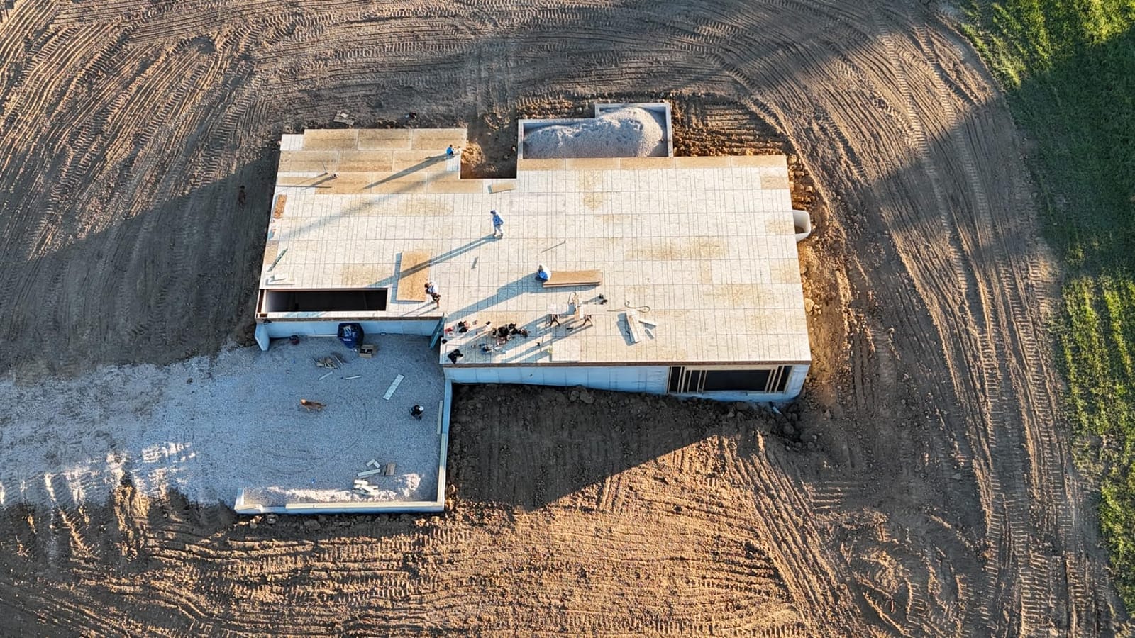
So what can a drone do that a survey alone does not? A great deal of practical work. It can document fence lines and structures, produce topographic and contour models, measure stockpiles and cut-and-fill volumes, map drainage and erosion, monitor construction progress, and capture evidence for boundary disputes, insurance claims and real-estate due diligence. Many surveyors now use drones as one input among several, combining the flight with total-station work, ground control points and phone-based LiDAR scans.
The practical rule we would give any property owner: use the drone to understand your land cheaply and quickly, and hire a licensed surveyor when the answer needs to hold up in a document, a transaction or a court. Professionals in the field are often resistant to drone deliverables for exactly this reason, and a defensible survey still comes from a licensed professional.
Frequently Asked Questions
What is the best drone for property surveying?
The DJI Mavic 3 Classic is the best all-round choice here. It combines a 4/3 CMOS Hasselblad camera with 20MP RAW stills, up to 46 minutes of flight time, omnidirectional obstacle sensing and built-in waypoint flight at 895 g, which keeps commercial operation relatively simple. For large acreage the DJI Mavic 4 Pro covers more ground per flight, and for low-light or heavily shaded terrain the Autel EVO II PRO V3 has the larger sensor and the brightest low-light performance of the group.
What drones can be used for surveying?
Any camera drone with stable GPS positioning, a mechanical three-axis gimbal and automated waypoint flight can be used. Survey-grade accuracy comes from ground control points and processing software rather than from the airframe alone. Open ground, bare soil, rooftops and construction sites suit photogrammetry from overlapping photographs. Wooded parcels with heavy canopy need LiDAR, because photogrammetry cannot reconstruct a surface it cannot see. Most consumer drones have no RTK, so plan for control points.
Can you do a land survey with a drone?
You can capture survey-grade spatial data with a drone, but you cannot produce a legal land survey. The flight gives you an accurate model of what is physically on the property: fence lines, structures, terrain and volumes. A licensed surveyor produces the legal boundary determination tied to deeds, monuments and control, and only that professional can sign it. Use the drone for documentation, volumetrics, drainage planning and progress monitoring, and hire a licensed surveyor when the result has to hold up in a transaction or a dispute.
How much does a land surveying drone cost?
The aircraft in this roundup span a wide range, from an entry-level sub-250 g model with a mechanical gimbal through prosumer 4/3 CMOS platforms to a dual-sensor thermal airframe. The real total cost of ownership is the aircraft plus batteries, a charging solution, a controller, a case and the processing software. RTK-equipped survey platforms and LiDAR payloads sit far above anything listed here. A recurring complaint in owner reviews across this category is that spare batteries and chargers are not included in the bundle, so budget for them separately.
What are some good drone survey programs?
Start with a Part 107 certification if you intend to fly for hire, which is the US commercial requirement and covers mapping, inspection and real-estate work. On the software side, DroneDeploy is the fastest route to an orthomosaic, Pix4D is the mapping and inspection standard, Agisoft Metashape gives full desktop control, and OpenDroneMap is the open-source option with an active community. For the technical background, photogrammetry courses covering ground sample distance, overlap and control-point practice matter more than any single vendor training.
Bottom Line: Which Drone Should You Buy for Property Surveying?
The DJI Mavic 3 Classic is the best drone for surveying property in 2026 for most people, because it combines a large sensor, real endurance, obstacle awareness and waypoint automation in an airframe that stays easy to fly and easy to justify. The DJI Mavic 4 Pro is the answer for acreage, where coverage rate per battery decides how much land you finish in a day. The Autel EVO II PRO V3 is the answer for shaded, low-light or graded-RAW work, and the Autel EVO II Dual 640T V3 is the only one here that records thermal data for envelope, moisture and night inspection.
For paperwork-free flying, the DJI Mini 4 Pro is the strongest option under 249 g. The Potensic ATOM and Holy Stone HS790 both bring a mechanical gimbal to the entry level, with the ATOM as the compact starter and the HS790 for the longest total flight time per charge. Whatever you buy, add ground control points and a proper processing pipeline, because the accuracy comes from the workflow rather than the airframe. And if the result needs to hold up legally, a licensed surveyor still makes the call.